
Cedar Lake
Alcona County, Michigan
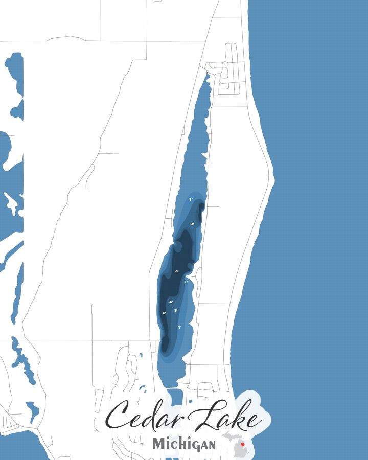
Cedar Lake in Alcona County, Michigan covers approximately 912.8 acres and reaches a maximum depth of 6.0 feet.
Cedar Lake is available in two formats: a layered laser-cut bathymetric depth map and a canvas print, both utilizing my own original design sourced from actual sonar data collected from the lake.
Printed on canvas in your choice of 5×7, 8×10, or 11×14, the map can be ordered without a frame or upgraded with a black floating frame for a display-ready presentation.
The layered bathymetric version is constructed from six laser-cut sections and is included in a black floating frame as standard. An optional backlit version is offered for an illuminated display that highlights the depth structure.
All maps are designed and handcrafted in my own shop. The cutting, staining, engraving, and assembly are done by hand, with my son Noah often helping with the production process.
*Sundling Road watermarks may appear in preview images, but they will not be included on the final product.
First, choose your style:

Bathymetric

Canvas Print
Next, choose your size:
Next, choose your size:
Want it framed?

Choosing this option will add a floating canvas frame to your lake map. Your map will be mounted in the frame and ready to hang on your wall.
Want it backlit?

Choosing this option will add a USB powered LED light to your bathymetric depth map. LED lights are controlled via remote to be able to select both color and brightness.