
Gibbs Lake
Rock County, Wisconsin
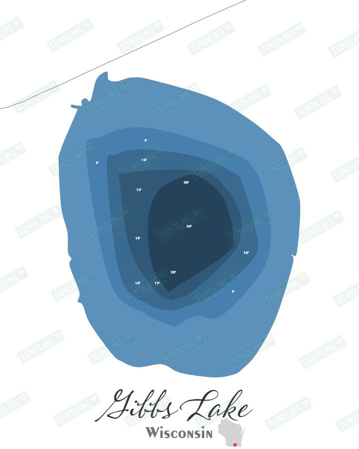
Gibbs Lake in Rock County, Wisconsin covers approximately 72.8 acres and reaches a maximum depth of 20.0 feet.
Both the canvas print and the laser-cut bathymetric version of this Gibbs Lake map are built from the same original design, developed using real sonar-based depth data from the lake itself.
Printed on canvas in your choice of 5×7, 8×10, or 11×14, the map can be ordered without a frame or upgraded with a black floating frame for a display-ready presentation.
The bathymetric map arrives assembled with six precision-cut layers and mounted in a black floating frame. A backlit option is available for those who want a distinctive illuminated display version.
Each piece is made in-house from start to finish — from the original design through the laser cutting, staining, and final assembly — with help from my son Noah when needed.
*Sundling Road watermarks may appear in preview images, but they will not be included on the final product.
First, choose your style:

Bathymetric

Canvas Print
Next, choose your size:
Next, choose your size:
Want it framed?

Choosing this option will add a floating canvas frame to your lake map. Your map will be mounted in the frame and ready to hang on your wall.
Want it backlit?

Choosing this option will add a USB powered LED light to your bathymetric depth map. LED lights are controlled via remote to be able to select both color and brightness.